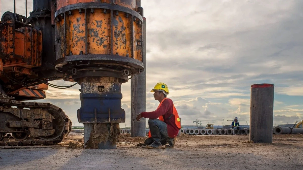
When our field crew arrives on a DC site, the first thing neighbors notice is the line of geophones stretching 47 meters across the ground, connected to a 24-channel seismograph that looks more like a recording studio rig than construction equipment. We set a 10-pound sledgehammer as the active source—sometimes we swap in a weight drop on paved lots near the National Mall where vibration restrictions are tighter—and start stacking shots. The surface waves propagate through the fill, clay, and weathered bedrock that make up the Potomac Formation deposits underlying much of the District. The seismograph captures the dispersive character of those waves, and the inversion software extracts a shear wave velocity profile down to 30 meters. That VS30 number is what the DC Department of Buildings reviews against the IBC site classification tables before approving a foundation design. For deeper bedrock mapping, we sometimes run a seismic refraction line along the same transect to pin the top of competent rock where the MASW loses resolution.
A one-letter change in IBC site class can double your seismic design loads—we measure VS30 so the structural engineer isn't guessing.
Technical details of the service in Washington DC
Demonstration video
Risks and considerations in Washington DC
The mistake we see too often around DC? A developer buys a lot in Trinidad or Eckington, the soil boring log says 'silty clay,' and somebody at the office assumes Site Class D without ever measuring VS30. Then the structural engineer designs for a default spectral acceleration, and the permit sails through plan review. Two years later the building is up, and nobody knows the profile actually classifies as Site E because of a buried soft layer at 12 meters that the standard penetration test barely registered. The IBC is explicit: you can use default site class assumptions only when you have measured shear wave velocity or justified your classification with sufficient subsurface data. Guessing wrong in the low-to-mid-rise zone—especially with DC's flat topography that masks variable fill thickness—can mean a retrofit order from the building official, or worse, a structural deficiency during an earthquake. The USGS ShakeMap for the 2011 Virginia quake showed amplified shaking in the Anacostia corridor precisely where soft soils dominate; we run the liquefaction assessment alongside the MASW in those neighborhoods because the combination of shallow groundwater and loose alluvium is the textbook setup for cyclic softening.
Our services
Our MASW survey deliverables are designed to slot directly into the structural engineer's workflow. The report includes the 1D Vs profile, the dispersion curve with misfit analysis, the calculated VS30, the IBC site class determination, and the mapped coordinates tied to the project survey datum. We also provide the raw SEG-2 field files on request for third-party review.
Active-Source MASW for IBC Site Classification
Single-array or multi-array surveys using a 24-channel seismograph and 4.5 Hz geophones. We deliver VS30, IBC site class, and a signed engineering report accepted by DCRA for building permit applications across all eight wards.
Combined Active-Passive MASW for Deeper Bedrock Mapping
When the bedrock interface sits beyond 30 meters—common in the downtown core and along Pennsylvania Avenue—we combine active hammer shots with passive ambient noise recording to extend the Vs profile to 60 meters or more. Useful for high-rise foundations and deep excavation support where the seismic base rock definition matters.
Quick answers
How much does a MASW survey cost in Washington DC?
For a standard single-array MASW survey in the District, you are looking at a range between US$1,910 and US$3,600. The spread depends on several factors: the number of arrays needed for site coverage, whether we need to use a weight drop instead of a sledgehammer (common on paved lots where we cannot stake geophones into asphalt), ambient noise conditions that require more stacking, and the turnaround time. A tight lot in Georgetown with truck traffic on M Street requires more field time than an open site in Brookland.
How long does the MASW field work take on a DC site?
A single array typically takes between two and four hours of field time, including the layout, instrument calibration, multiple shot stacks, and breakdown. If we are running two or three arrays to cover a larger parcel—say a full-block development in NoMa—the field crew can usually complete the survey in a single day. The processing and reporting add three to five business days.
What is the difference between MASW and a seismic refraction survey?
MASW measures shear wave velocity (Vs) using surface waves, while seismic refraction measures compressional wave velocity (Vp) using refracted body waves. For site classification under the IBC, you need the shear wave velocity profile to compute VS30—that is the MASW domain. Refraction is better at mapping the depth to bedrock and identifying rippability, but it does not give you Vs directly. We often run both on the same line for a complete picture.
Does the DC building code require a MASW survey for every project?
Not for every project, but the IBC—adopted by DC—requires site classification for seismic design. You can classify the site using measured shear wave velocity (MASW or downhole), standard penetration test data (if sufficient borings exist), or undrained shear strength for cohesive soils. In practice, for any structure taller than two stories or classified as Risk Category III or IV, having a measured VS30 from a MASW survey avoids the conservative default assumptions that can inflate the structural steel and foundation costs significantly.